


Geography
The Rhön is a low mountain range, situated in the border region of the three states Bavaria, Hesse and Thuringia. It covers all or parts of the following administrative districts: Bad Kissingen, Rhön-Grabfeld, Fulda, Hersfeld-Rotenburg, Main-Kinzig-Kreis, Schmalkalden-Meiningen and Wartburgkreis. Since 1991, large parts of the Rhön form the UNESCO-Biosphere Reserve Rhön.
The Rhön extends over an area of about 3,300 square kilometers. From North to South it stretches for roughly 90 km, from East to West for 50 km. The river Werra divides the Rhön from the Thüringer Wald. The Southern and Southeastern border is formed by the valleys of the Streu and Fränkische Saale. At Gemünden, the Rhön reaches the river Main, from here, its Western border runs almost straight North-South. The lower valley of the Sinn separates the Rhön from the Spesssart mountains, from here, the border crosses the watershed in a Western direction and then follows in a northern direction the valleys of the Fliede and Fulda. These separate the Rhön from the Vogelsberg. To the North, its border follows the valley of the Haune and the Southern end of the Seulingswald till Vacha, where it reaches the river Werra again, its Eastern Border against the Thüringer Wald.
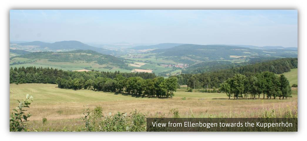
The Kuppenrhön, which also includes the Vordere Rhön, is the wide margin of the low mountain range, which stretches from Northeast along the Northwest to the Southwest around the Hohe Rhön. It covers an area of 1,200 square kilometers. Wide valleys are dotted with isolated dome-shaped mountains, which are giving the area its name. These mountains are 500 to 800 m high. Unlike the Hohe Rhön, where basalt forms a continuous layer, here the basalt layer is restricted to the summit areas.